Yellow River Basin
黄河流域
The cradle of Chinese civilization along the Yellow River, encompassing Gansu, Ningxia, Shaanxi, Shanxi, and Henan, with loess plateau folk arts and paper-cut traditions.
The 黄河流域 Civilization
The cradle of Chinese civilization along the Yellow River, encompassing Gansu, Ningxia, Shaanxi, Shanxi, and Henan, with loess plateau folk arts and paper-cut traditions.
For millennia, this region has been a crucible of Chinese civilization — shaping the arts, traditions, and cultural expressions that define the heritage of the nation. Its landscape, from mountain ranges to river valleys, has fostered distinct local practices that continue to thrive in the modern era through the dedication of master artisans, performers, and cultural custodians.
Region DNA
- Silk Weaving
- Jade Carving
- Bamboo Craft
- Lacquerware
The Historical Arc of Yellow River Basin
Pre-1000 BCE
1000-221 BCE
221 BCE-960 CE
960-1912 CE
1912-Present
Heritage practices that continue to shape cultural life in Yellow River Basin
Masters of Yellow River Basin
View ArchiveNo master inheritors recorded for this region. Browse all masters
Seasonal Life in 黄河流域
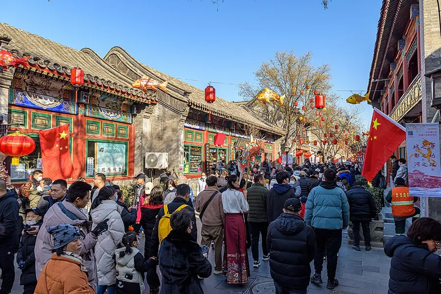
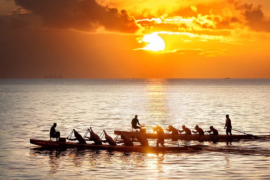
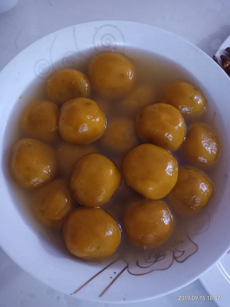
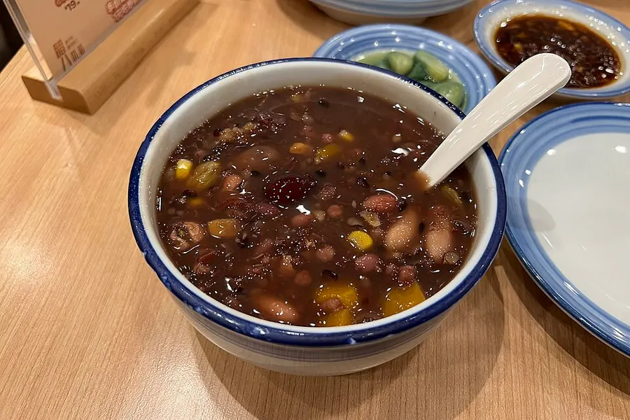
The rhythm of life in Yellow River Basin follows a seasonal wheel. Traditions are rituals performed in harmony with the arrival of spring rains or the first autumn frost. Each season brings a specific sensory palette — the scent of new tea, the sight of lotuses in classical ponds, the sound of bells in mountain temples.
Vernal Equinox
Harvesting the most prized Pre-Qingming tea buds.
Winter Solstice
Traditional family gatherings centered around rice wine and poetry.
Yellow River Basin Heartland
Cultural Core
35.00°N, 110.00°E
Geographic Center
Lanzhou
兰州
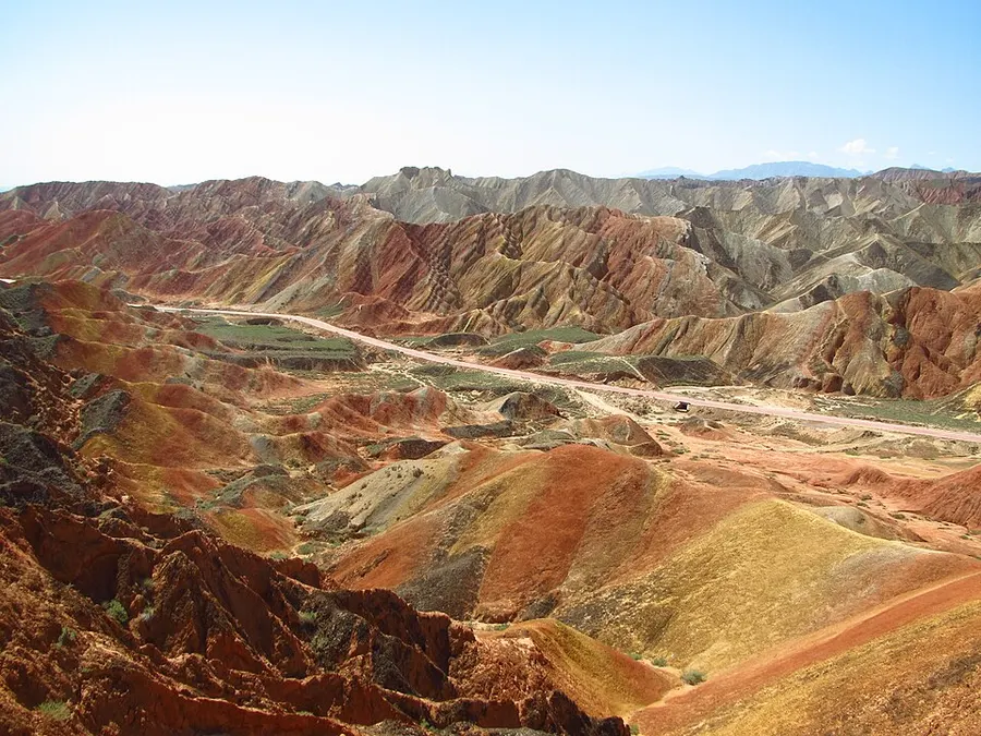
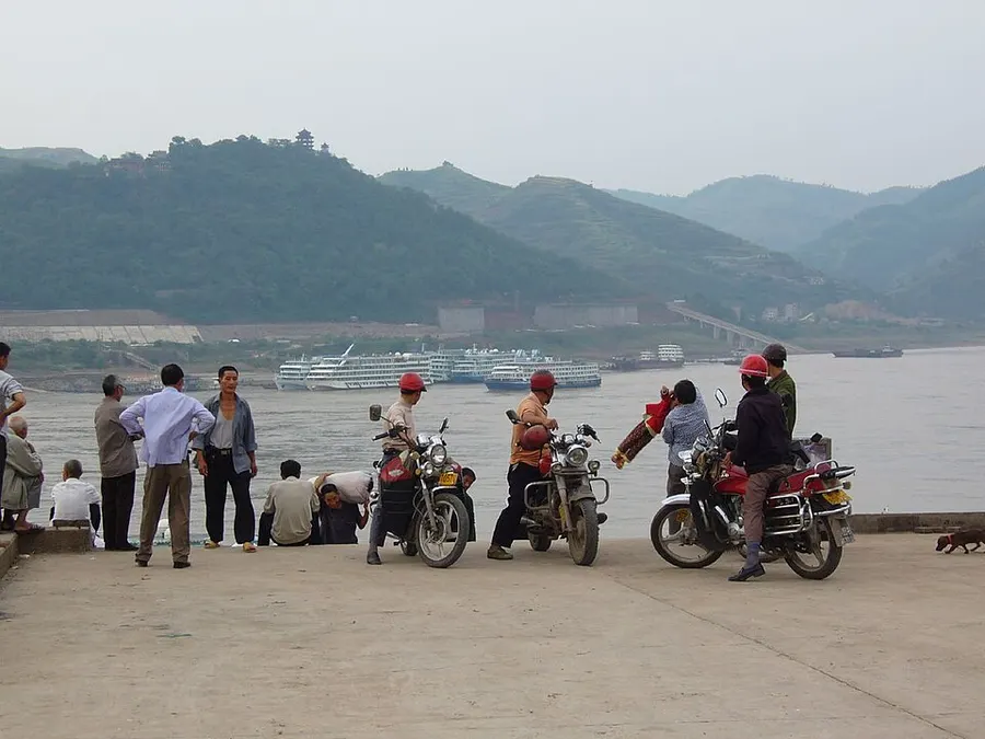
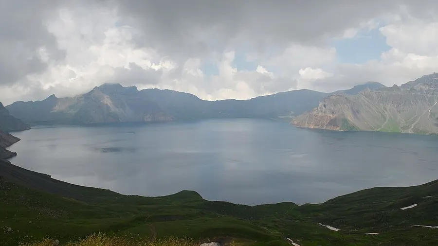
"A landscape where mountains and rivers have shaped the cultural identity of a civilization."
History & Development
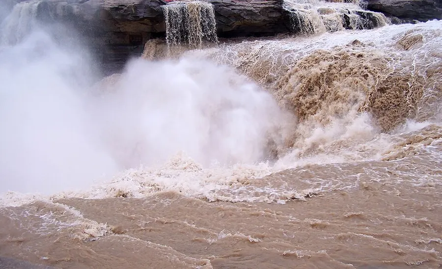
The Yellow River carries so much loess silt — historically around 1.6 billion tonnes a year — that its water runs the colour of bronze and its floodplain constantly rebuilt itself, which is precisely why civilization clustered here. Neolithic cultures along the middle reaches painted the distinctive amphorae of Yangshao (from about 5000 BCE) and fired the grey pottery of Longshan before any dynasty existed; later states measured their legitimacy by taming this same current with dikes, canals, and dredging corvées.
Control of water became the basin’s defining institution. Qin engineers built the Zhengguo Canal about 246 BCE to convert northeastern dryland into granary, Hetao irrigation turned Ningxia’s desert edge into the "land of plenty beyond the Great Wall," and dynastic ledgers record dike breaches roughly once every three years somewhere along the lower course between 602 BCE and 1938. Today the Xiaolangdi dam (completed 2001) regulates sediment and ice-jam floods, while the Central Plains at its mouth remain the demographic heartland those hydraulic labours created.
Life Along the Mother River
- 01
Loess cave dwellings
Sunken courtyards and hillside yaodong cut into compacted silt stay warm in winter and cool in summer across Shanxi, Shaanxi, and Gansu.
- 02
Irrigation oases
Ningxia and Inner Mongolia canal networks, first dug under Han garrisons, still time their releases to wheat and goji harvests.
- 03
Flood-control work songs
Dike-repair crews developed call-and-response chants to synchronise rammer teams; recordings preserve rhythms older than any notation.
- 04
Hukou gorge pilgrimage
Where the river narrows to 30 metres and drops into a golden cataract, photographers and painters gather each ice-melt season.
Common Questions
Why is the Yellow River yellow?
It transports enormous loads of wind-deposited loess eroded from the Loess Plateau; the finest particles stay suspended for hundreds of kilometres, colouring the water and fertilising the floodplain. That same silt raised the riverbed above surrounding fields near Kaifeng.
Which early cultures arose on the Yellow River?
Yangshao painted-pottery villages from about 5000 BCE, Longshan walled towns after 3000 BCE, and the Erlitou state often linked to the Xia all sit on or near the middle course, flowing directly into the Shang capitals documented in our Shang chapter.
Is the Yellow River still flood-prone today?
Engineering has changed the odds: Xiaolangdi flushes sediment on schedule and levees are continuously raised, so no major breach has occurred since 1950s consolidation. Water scarcity now matters more than flood risk, managed through annual allocation schemes among nine provinces.